Amsterdam street grid
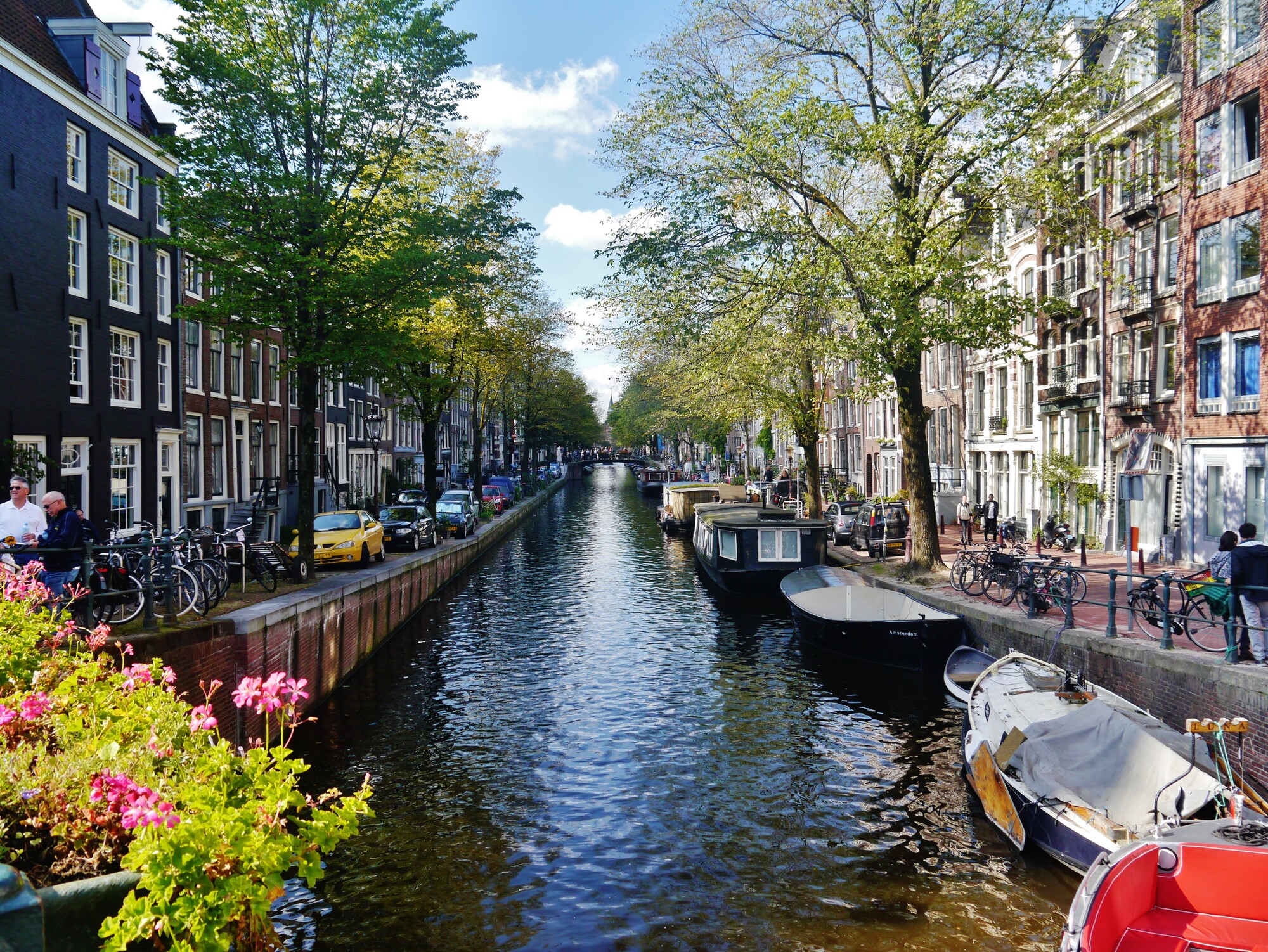
Amsterdam’s center reflects the town’s early life as a fishing and trading hub on the Amstel River. Narrow streets, alleys and squares surrounded by tight canals. But then, radiating from its center, the iconic canal belt: a set of semicircles arcing outward like ripples from the old medieval core.
Herengracht, Keizersgracht, and Prinsengracht were not just waterways but a kind of urban machine, balancing defense, transport, housing, and drainage. Urban historians still describe it as one of the great planning achievements of the early modern world.
From above, the pattern looks like a wheel. Some say it resembles women’s private parts.
This model didn’t stay in the Netherlands. Dutch colonies carried the Amsterdam grid abroad, adapting it to new environments. In Batavia (Jakarta), canals were dug in a checkerboard to mirror the homeland, though the tropics soon made them stagnant and unhealthy.
In New Amsterdam — today’s New York City — Broad Street began as a canal flanked by houses and warehouses, echoing the waterways of Amsterdam’s own trading quarter. Though most of the colonial grid was later overlaid by the Commissioners’ Plan of 1811, traces of the Dutch layout remain in lower Manhattan’s crooked streets.
The canal belt, now a UNESCO World Heritage Site, still defines Amsterdam’s identity. It is at once a feat of engineering, a symbol of civic ambition, and an exportable model that left its mark far beyond the Netherlands. What began as the eerste uitleg has shaped not only the Dutch capital but cities an ocean away — from Jakarta to New York.
This story sits on the map in the Free Amsterdam app, which walks you to the spot.
Open this story on the map